Namma Metro Airport (Blue) Line: Route & Stations
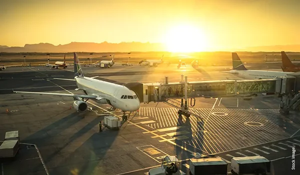
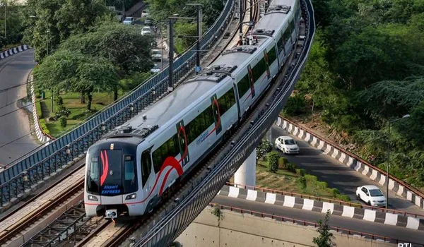
The Namma Metro Blue Line to Airport is the rail corridor that will finally connect Bengaluru's metro network to Kempegowda International Airport. Built and operated by BMRCL as part of the network's expansion, the Blue Line runs across the eastern spine of the city and turns north toward Devanahalli, giving airport-bound travellers a traffic-free alternative to the road corridor. For anyone tracking access to North Bangalore, it is one of the most significant infrastructure lines under construction — and this guide sets out its route, its key stations, and what it changes on the ground.
A note on naming and timing. BMRCL's airport corridor is officially designated the Blue Line to Airport — you may also see it referenced as Line 2B in older planning documents. Construction is well advanced along elevated sections, but no fixed public opening date should be treated as final; commissioning happens section by section after safety clearances. Treat any single "launch date" you read online as an estimate, not a commitment, and check BMRCL's own updates before planning around it.
What the Blue Line to Airport Actually Connects
The Blue Line is built around two feeder arms that meet and continue north to the airport. The first arm runs east from Silk Board along the Outer Ring Road, past the Marathahalli and Bellandur employment belt, up to KR Puram. The second is the airport arm itself, which begins near KR Puram and runs north-east, following the road network out through Hebbal and Yelahanka toward the airport terminals. In practice this means a rider from the ORR tech corridor — where a large share of Bengaluru's office workforce sits — can reach the airport on a single metro spine instead of fighting the highway. The corridor also interchanges with the existing Purple Line at KR Puram and connects into the wider network, so the airport becomes reachable from far more of the city than the terminals are today.
Key Stations Along the Corridor
The line is largely elevated and threads together several of the city's busiest nodes. While station lists can be refined during construction, the corridor is anchored by these well-known points:
| Node | Why it matters |
| Silk Board | Southern anchor and a major road bottleneck; metro interchange point |
| ORR tech belt (Marathahalli / Bellandur) | Dense office corridor feeding daily airport and city travel |
| KR Puram | Interchange with the operational Purple Line; where the airport arm begins |
| Hebbal | Key northern junction on the road-and-rail path toward Devanahalli |
| Yelahanka | Established North Bangalore suburb on the approach to the airport |
| Airport terminals | The northern terminus at Kempegowda International Airport |
Station naming and exact stops are set by BMRCL and can change as sections are commissioned. Use this as a corridor map, not a final timetable.
Why the KR Puram and Silk Board Link Matters
The single most useful feature of the Blue Line is that it stitches the airport onto the metro network at two of the city's heaviest-traffic points. Today, someone leaving the ORR office belt for a flight has almost no reliable option except a road cab, and that road is precisely where Bengaluru's congestion is worst. By landing the airport arm at KR Puram — already a Purple Line interchange — and pushing the other arm to Silk Board, the corridor lets a rider transfer once and reach the terminals without a car. That reliability, rather than raw speed, is what changes behaviour: a metro run holds its time even when the roads do not.
What It Means for Devanahalli and North Bangalore
Devanahalli sits at the northern end of the airport growth story, and the Blue Line reinforces the same corridor that already carries road traffic to the terminals. The metre-by-metre benefit for a far-north location is less about boarding the line at your doorstep and more about the airport becoming a stronger, better-connected anchor — one that pulls offices, schools, and hospitals toward its catchment. As the terminals get easier to reach from across the city, the areas immediately around them, including the Devanahalli belt along IVC Road and the STRR, sit inside a widening zone of daily airport-linked activity. That is the practical read for North Bangalore: the metro deepens the airport's pull rather than replacing the road network.
Road vs Metro to the Airport
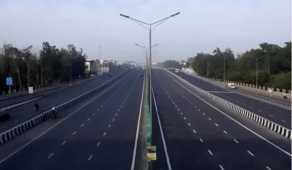
The two modes are complements, not rivals. The road corridor — NH-44, the STRR, and IVC Road — remains the fastest door-to-door option for anyone already in the northern belt, while the metro's strength is reliability across the wider city. For a Devanahalli resident, the airport is a short drive today; for a rider coming from South or East Bengaluru, the Blue Line removes the single biggest source of uncertainty in getting to a flight. Both feed the same node, and together they make the airport one of the best-connected destinations in the metropolitan area.
How This Connects to Bulwark Highgrove
Infrastructure like the Blue Line is part of why the Devanahalli belt keeps drawing attention. Bulwark Highgrove — a 10-acre gated plotted community at Dyavarahalli, near IVC Road and the STRR — sits inside the airport catchment that this corridor strengthens, roughly twenty-six minutes from the terminals by road. If you are weighing North Bangalore for a plot, understanding how airport access is evolving is a useful part of the picture. This article is informational; for plot sizes and pricing, see the project's own pages.
Frequently Asked Questions
1. Which Namma Metro line goes to the airport?
The airport corridor is officially the Blue Line to Airport, built and operated by BMRCL. It links the network to Kempegowda International Airport via an arm that begins near KR Puram and runs north through Hebbal and Yelahanka to the terminals. Older planning papers sometimes call it Line 2B.
2. What are the key stations on the Blue Line route?
The corridor is anchored by Silk Board, the ORR tech belt around Marathahalli and Bellandur, KR Puram, Hebbal, and Yelahanka, ending at the airport terminals. KR Puram is the key interchange, where it meets the operational Purple Line. Exact station names are finalised by BMRCL as sections are commissioned.
3. When will the metro airport line open?
No single fixed public opening date should be treated as final. Construction is advanced along elevated sections, but the line is commissioned section by section after safety clearances. Treat any specific "launch date" you read as an estimate and check BMRCL's own updates for the current status.
4. Why does the KR Puram and Silk Board connection matter?
Both are among the city's heaviest-traffic points. Landing the airport arm at KR Puram, an existing Purple Line interchange, and extending the other arm to Silk Board lets riders from the ORR office belt reach the airport with a single transfer and no car — the corridor's biggest practical gain is reliability, not raw speed.
5. What does the metro line mean for Devanahalli access?
Devanahalli sits at the northern end of the same airport corridor. The metro mainly strengthens the airport as a connected anchor, pulling offices, schools and hospitals toward its catchment. For the Devanahalli belt along IVC Road and the STRR, the airport is already a short drive; the road network remains the fastest door-to-door option.
6. Is the metro or the road faster to the airport?
They complement each other. For someone already in North Bangalore, the road corridor — NH-44, the STRR and IVC Road — is the fastest door-to-door route. For riders coming from South or East Bengaluru, the Blue Line removes the biggest source of travel-time uncertainty. Both feed the same airport node.
Explore Bulwark Highgrove