Airport Connectivity from North Bangalore
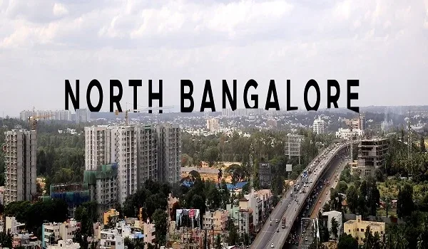
North Bangalore reaches Kempegowda International Airport mainly by road — NH-44 as the primary spine, backed by the STRR and IVC Road — with an under-construction metro line adding a rail link, which puts the Devanahalli belt roughly 26 minutes from the terminal. North Bangalore's single biggest advantage is that it wraps around the city's aviation hub. The Kempegowda International Airport (KIA) sits at Devanahalli, and every major road, expressway and planned rail line in this quadrant of Bangalore is oriented toward it. For anyone weighing land in and around Devanahalli, understanding how the airport is reached — and how that access is being upgraded — is the difference between buying a plot and buying a location.
Why this matters. An airport is not just a place you fly from — it is an employment magnet. KIA anchors aerospace parks, an aerotropolis, hardware manufacturing at the KIADB IT Park, business parks and international schools, all of which pull salaried buyers to live within a short drive. Land that sits on a clean, fast route to the airport captures that demand first, which is precisely why plotted layouts along the Devanahalli corridor have appreciated faster than the city average.

The Road Network to the Airport
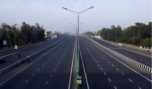
North Bangalore reaches KIA through a small set of well-defined corridors, and the layout is unusually clean compared with the rest of the city. NH-44 — the Bellary Road national highway — is the primary spine; it runs straight north from the city centre to the airport with the elevated Hebbal flyover and signal-free stretches doing most of the heavy lifting. Feeding into it are two secondary corridors that matter enormously for Devanahalli: the Satellite Town Ring Road (STRR), which loops the outer edge of the metropolitan region and lets traffic bypass city congestion entirely, and IVC Road (Inter-Village Connecting Road), the local artery that links the Dyavarahalli belt to both the STRR and NH-44. Together they mean a plot near IVC Road has more than one way to the terminal, which keeps drive times stable even when one route is busy.
Drive Times to KIA from the Devanahalli Belt
| Destination | Approx. drive time |
| Kempegowda International Airport (KIA) | 26 min |
| Foxconn manufacturing campus | 10 min |
| KIADB IT Park | 10 min |
| Devanahalli Business Park | 10 min |
| Amity University | 5 min |
| Prestige Golfshire Club | 15 min |
Drive times are indicative, measured from the Dyavarahalli / IVC Road area, and vary with traffic and the route taken.
The Upcoming Airport Metro
The road network is about to be complemented by rail. Namma Metro's airport line — the Blue Line extending north from Central Silk Board through K.R. Puram and Hebbal — is under construction and terminates at KIA. When it becomes operational, North Bangalore will have a fixed, congestion-proof public link to the terminal, which historically is the single biggest trigger for land re-rating anywhere in the city: corridors near an announced or completed metro station consistently outperform. For Devanahalli, the metro adds a second mode of airport access on top of the highways, deepening the location's long-term liquidity rather than relying on road widening alone.
Why Airport Proximity Drives Land Value
Proximity to an international airport works on land value through three distinct channels. First, employment — the aerospace SEZ, hardware plants and business parks clustered around KIA create a steady stream of salaried households who want to live within a 15-minute commute, and that end-user demand underpins plotted layouts. Second, infrastructure spend — governments prioritise road, water and power upgrades along airport corridors, and that public investment raises every parcel it touches. Third, scarcity of clean-title land — as the built-up zone creeps outward from the terminal, well-planned gated layouts with clear approvals become the limited supply everyone competes for. The result is that airport-adjacent land tends to hold its floor in slow markets and lead the recovery in strong ones.
Airport Connectivity at Bulwark Highgrove
All of these corridors converge on one belt — Dyavarahalli, off Chapparakallu Road, near IVC Road and the STRR. That is exactly where Bulwark Highgrove, a 10-acre gated plotted community by Bulwark Group, sits: roughly 26 minutes from KIA, 19 minutes from Foxconn and 40 from the KIADB IT Park, and plugged directly into both the STRR loop and NH-44 through IVC Road. For a deeper look at the corridor, see our notes on the Devanahalli airport corridor and the wider connectivity around the project.
Frequently Asked Questions
1. How is North Bangalore connected to the airport?
North Bangalore reaches Kempegowda International Airport mainly via NH-44 (Bellary Road), the Satellite Town Ring Road (STRR), and local arteries such as IVC Road. These corridors let traffic from the Devanahalli belt reach the terminal by more than one route, keeping drive times stable.
2. How far is Devanahalli from Kempegowda International Airport?
From the Dyavarahalli / IVC Road area near Devanahalli, the airport is roughly a 26-minute drive. The same belt is about 19 minutes from Foxconn, 20 from the Devanahalli Business Park and 40 from the KIADB IT Park. Times are indicative and vary with traffic.
3. Is there a metro line to the Bangalore airport?
Yes — Namma Metro's airport line (the Blue Line running north through Hebbal to KIA) is under construction. Once operational, it gives North Bangalore a fixed rail link to the terminal alongside the existing highways, which typically supports land values along the corridor.
4. Why does airport proximity increase land value?
An international airport draws employment — aerospace parks, manufacturing and business parks — which creates end-user demand for homes nearby. It also attracts prioritised road, water and power spending, and it makes clean-title land scarce as the built-up zone expands. Those forces together raise airport-adjacent land value.
5. What role does IVC Road play in airport connectivity?
IVC Road (Inter-Village Connecting Road) is the local artery that links the Dyavarahalli belt to both the STRR and NH-44. It gives plots in this belt a short, direct feed onto the main airport corridors, which is why land near IVC Road enjoys reliable access to KIA.
6. Is Bulwark Highgrove close to the airport?
Bulwark Highgrove is a gated plotted community at Dyavarahalli, near IVC Road and the STRR, Devanahalli — roughly 26 minutes from KIA, about 19 from Foxconn and 40 from the KIADB IT Park. It sits directly on the airport corridor that this guide describes.
Explore Bulwark Highgrove